Humanitarian aid, donations, support. There’s a satellite for all of that.
Where will my donation end up? Will it reach the people we want to help or will it get lost somewhere on the way? Who knows if it will get there? This is what people wonder especially when sending money, but also when shipping goods.
These questions are even more appropriate when the final destination is hard to reach, or deliveries cannot be directly tracked.
For instance, delivering medicines to refugee camps in Libya can be a real challenge. You cannot just load a van, prepare the shipping documents, and go deliver. It takes much more than that. Beside internal borders and checkpoints, in poor and violent areas there are risks of assaults, as the goods can be stolen and potentially sold on markets.
Today Libya is ruled by a Government of National Accord, recognised by the UN, and therefore by Italy too. However, there is a vast uncontrolled territory, with different militia fighting each other.
Here is where Helpcode comes into play. In March 2018, we delivered the first shipment to a Libyan detention centre and on May 24th, we delivered humanitarian aid to the detention centre in Tajura – an area of Tripoli – tracked by a satellite.
We have worked with Airbus Defence and Space (a satellite images’ provider) in this first test with satellite monitoring.
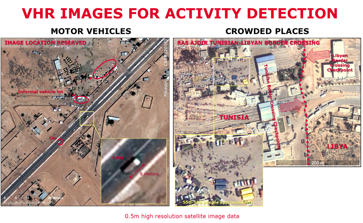
The satellite was positioned over the Tajura Detention Centre, and its images from space showed us our van’s path until its arrival to the camp. There was a delay of two hours in the arrival of the van, due to fights between the militias to control the road to Tajura, but then everything went as planned.
We have delivered sanitary kits, blankets, clothing, pillows, mattresses and sheets.
Unlike a simple GPS tracking and tracing system that monitors the movement of the vehicle, the satellite shows possible dangerous situations or the potential presence of attackers. In case of emergency, the route can be diverted through communication with the operators via SMS.
In addition, for delivery management, we have used an application called GINA International, which allows data to be collected in the field to ensure that activities and security are managed remotely. The operators need to type symbols to confirm a successful delivery, which simplifies both the registration and the monitoring system. Among other things, the application includes a panic button that workers can activate in case of danger. This allows for immediate action to be taken in response to emergencies.
Space technology and remote-sensing techniques therefore made it possible to visually confirm that the convoy bringing the aid to the detention centre was indeed on the move and in line with the agreed schedule.
In order to identify the truck in the satellite image we implemented several measures such as a planned capturing of the “photo” to minimize the risk of image loss due to adverse weather conditions.
The upper surface of the truck has been marked with a color or shape clearly distinguishable from the surrounding environment. To improve its identification, other visual elements were placed on the ground during the delivery of the goods, which helped to distinguish the area where the vehicle was parked.
The test was fully coordinated remotely. A distant director that, through space, has monitored and guided the main operators towards the accomplishment of a simple and banal activity in a dangerous and very difficult area in a conflict zone.
Italy – Libya through space, to deliver things that are so common for us that they have almost no value, and yet they are so valuable to those sleeping on the ground with a cloth as a sheet or with spit as the only medicine for wounds.